|
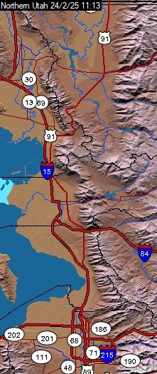
This is a map of the Wasatch front in Utah from south of Salt Lake City to the Idaho/Utah border with county lines, major water bodies and roads, and elevations. It shows the temperatures at four NOAA sites, Logan, Ogden, Hill AFB, and Salt Lake City as well as several private stations.
Temperatures are shown in the colored boxes.
Holding the mouse over a temperature box and clicking will bring up the source page from either NOAA or WeatherUnderGround in a new window.
If you have Microsoft IE6, holding the mouse over a temperature box will bring up more weather information.
|
|