Ibapah Peak
Getting There
Ibapah Peak is the high point of the Deep Creek Mountains, on the far western border of Utah. It gets far more traffic than the other peaks in the range, because it's a county high point, at 12,087 ft tall.
I've only hiked to the summit from Granite Creek, which runs south and east from the peak. I once met someone who came up from the west side, but he had relatives in Ibapah and he had permission to cross the private property there.
There is a BLM sign for Granite Creek on the Snake Valley Road south of Callao, and south of the junction with the Weiss Highway. To get to the trailhead, head west and northwest on this road and look for a turn to the west (left) — if you go straight, you end up at a ranch.
The road is reasonable up to the first ford of Granite Creek. After that point, it gets rutted and bouldery. The road is closed from 12/1 to 5/31 at the second creek crossing. Above that crossing, the road stays above the creek on the northeast (right) side, passing a couple of camping spots. A large granite outcrop on the southwest (left) side forces the road even further from the creek; on the north side of this outcrop, at about 5.1 mi, there is a small parking area at 6,800 ft just below a short, brutal hill. I recommend parking here, and I'll describe the hike from this location. I've driven the section above the hill, but I don't recommend it; I dented my skid plate trying to get back down the hill. The road is officially closed at “Camp Ethel” at about 7,350 ft elevation and 0.9 mi further.
The Route
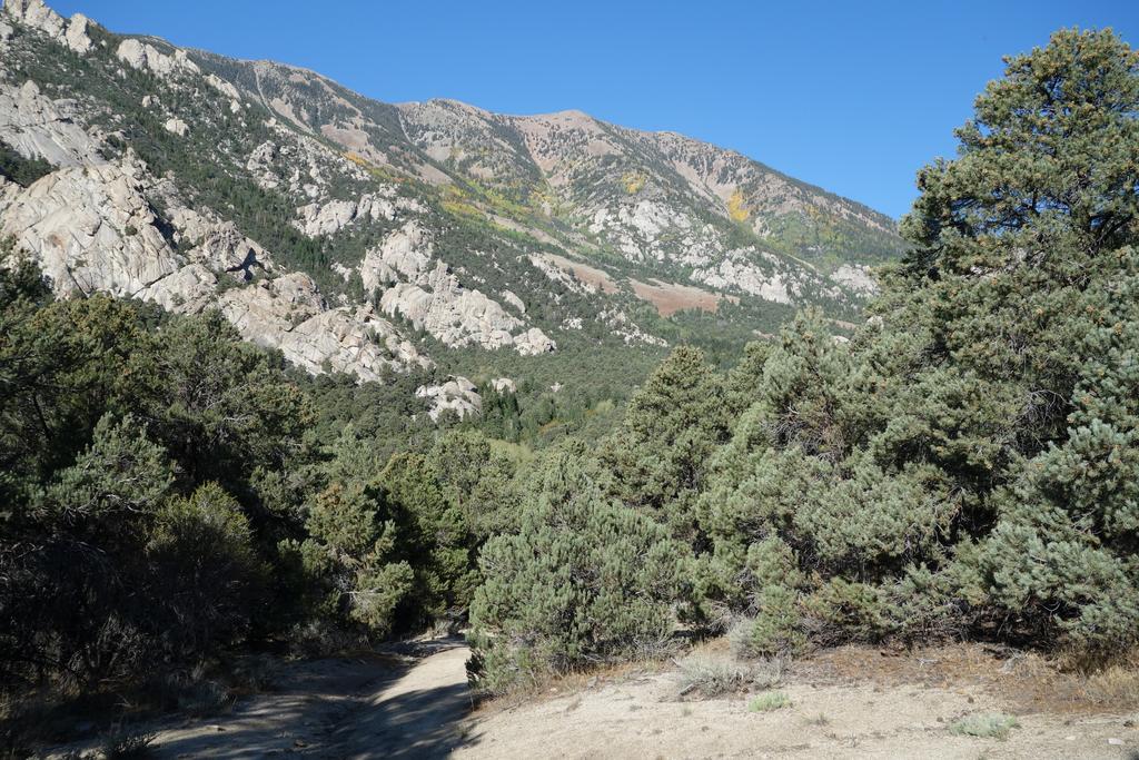
After the short, steep, rocky hill, the old road winds through pinyon-juniper forest and granite outcrops, eventually passing a third and final ford. If you reach this spot in your 4WD, you'll know that you've gone too far, and you'll have a lot of trouble turning around later.
Pick your way over the deadfall as the forest transitions to white firs and aspens. The creek runs in a pretty ravine just to the north. In the fall, the aspens turn brilliant shades of yellow and red. At a muddy spot, stay left in the mud past a cattle guard rather than turning right into a camp site.
In a bit over 2 mi, the road peters out at an old parking area. The trail can be hard to spot here amid the deadfall; it takes off to the west (left) and heads up a slope into the leftmost fork of Granite Creek.
The trail used to be very hard to follow in this section, but by now (2014), it has seen enough traffic that it's not too hard to stay on it. The trail is very steep in places and occasionally disappears under deadfall, but you can always pick it up with a little effort.

The water in this fork of Granite Creek comes from a wet spring at a pretty meadow. This meadow is a vibrant green early in the season. The trail passes along the north side of the meadow, and the grade eases somewhat.
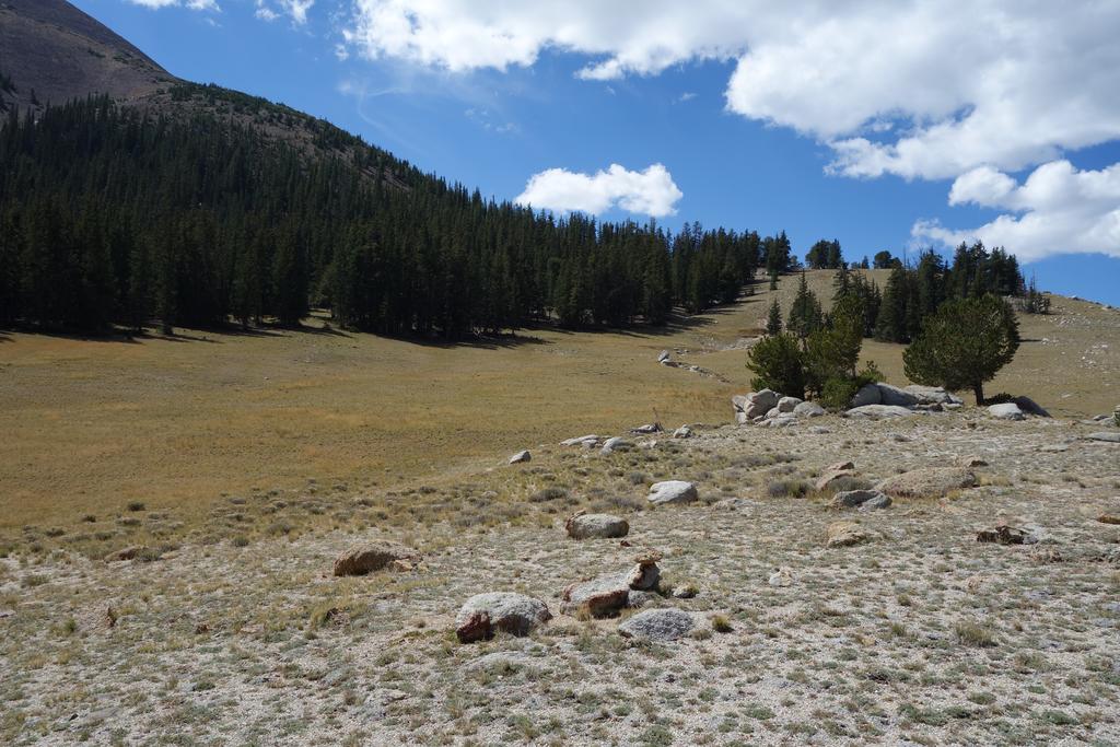
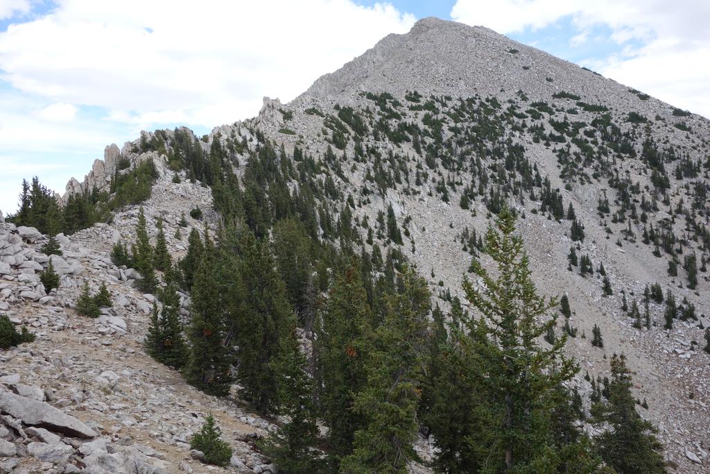
There is a spectacular park-like area where the trail reaches the crest of the range, with scattered, twisted pines and (in season) flowers.
At this point, you'll break from the trail; if you continue to follow it, you'll end up going down the west side to an old (private) mine. The route heads north through the park and up the slope through a somewhat sparse forest.
![/galleries/deep_creeks_2014/004_your_destination_[Sat_Sep_13_12:46:40_MDT_2014].thumbnail.jpg](../galleries/deep_creeks_2014/004_your_destination_[Sat_Sep_13_12:46:40_MDT_2014].jpg)
The summit is a pale wedge looming over a smaller, forested intermediate peak. Your goal is to cross this intermediate peak and find the use trail on the narrow ridge to the north. The easiest way to get there is to head fairly directly toward a bare patch on the east side of the intermediate peak, visible in the photo. If you're lucky, you'll pick up ducks and cairns that lead you on a faint use path around the east (right) side of the intermediate peak.
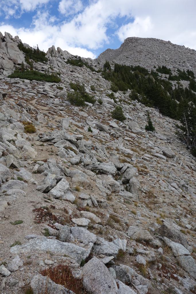
The use path drops a short distance to a rocky saddle, then climbs the ridge in steep bursts. At some point the path picks up a much older trail that switchbacks across the bare face of the peak, with periodic views of the granite spires on the west side.
![/galleries/deep_creeks_2014/006_on_top_[Sat_Sep_13_15:22:20_MDT_2014].thumbnail.jpg](../galleries/deep_creeks_2014/006_on_top_[Sat_Sep_13_15:22:20_MDT_2014].jpg)
Ben Stokes and Frank Nederhand
There is a rock shelter off to the east once you reach the summit area. There are fantastic vistas in every direction — north to Haystack Peak and the glacial bowl of Red Cedar Canyon, west to the Rubies and Schell Creeks, south to Red Mountain and east to the Fish Springs Range and the House Range.
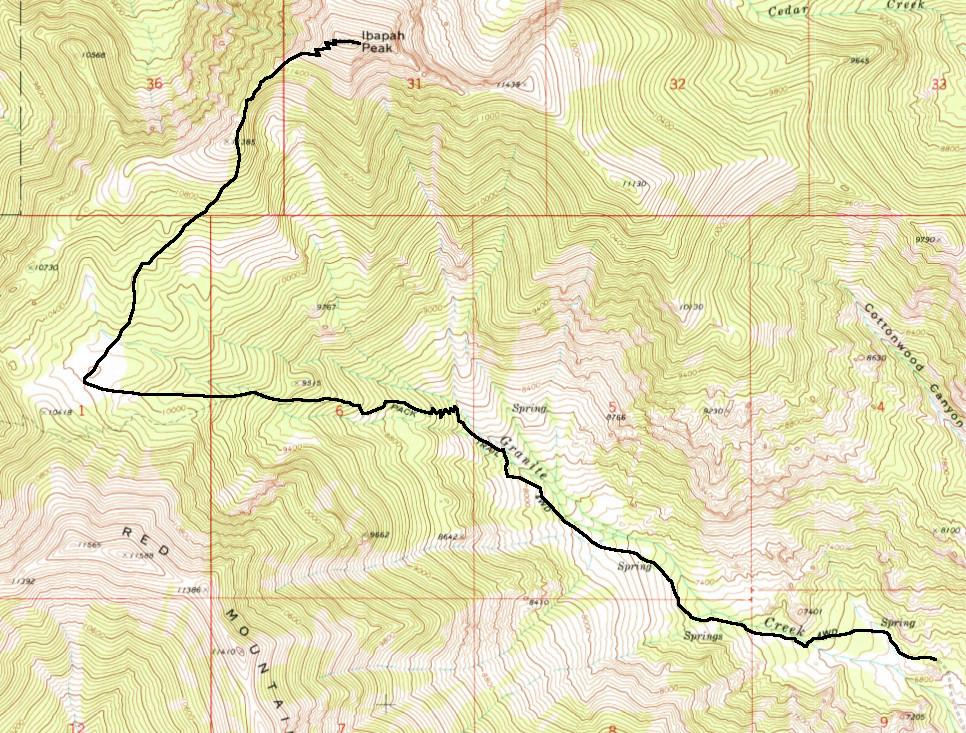
Here is a somewhat vague map of the route.